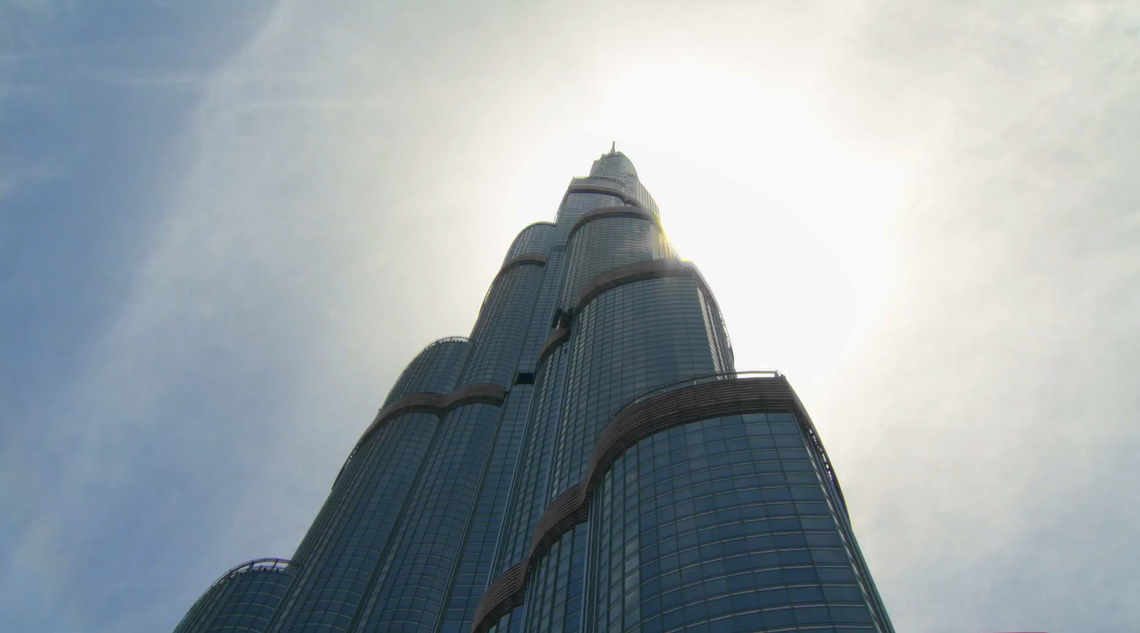
Burj Khalifa, aka the world's tallest building, is now available on Google Maps with Street View, allowing web surfers to gobble up all 828 meters of the skyscraper through up-close and panoramic imagery.
Google said in a blog post on Monday that Burj Khalifa marks the first time it has captured a skyscraper on Street View. Street View is a feature in Google Maps and Google Earth that offers 360-degree-like views from street positions. It launched in 2007, in several US cities, but has since expanded to include cities and rural areas around the globe.
Those interested in virtually visiting the Dubai-based skyscraper can now peruse views from the observation deck on the 124th floor, "hang off" a maintenance unit for cleaning windows on the 80th floor or explore the world's highest occupied space on the 163rd floor.
Visitors can also take a trip on the world's fastest-moving elevators at 22mph and see the world's highest swimming pool on the 76th floor. A Street View Trekker and Trolley captured the high-resolution, 360-degree panoramic imagery over three days, amassing several indoor and outdoor shots of the building.
Read: Google's Street View adds 1,001 new destinations - from Asia to Canada
Google also updated Street View earlier this month with panoramic imagery for exactly 1,001 new destinations in Asia, Europe, Latin America, the US and Canada. To see the new destinations or experience panoramic imagery through Street View, visit Google Earth or download the Google Maps app for Android or iPhone.