Google Maps has added the ability to find electric vehicle (EV) charging locations, bringing extra convenience feature for drivers of EVs.
The new feature is available in both the UK and the US and will display charging points from a wide range of different charging networks.
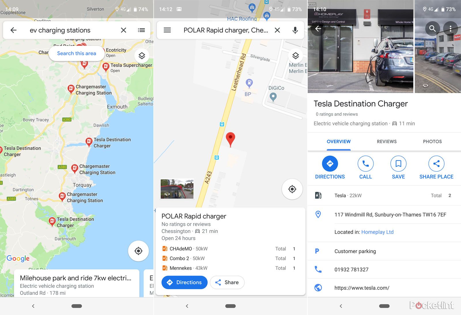
All you have to do on Google Maps is search for "EV charging stations" and it will search the immediate area for chargers, returning information on what type of charger is available so you can make sure you're going to be able to plug your car in. You'll also be able to see if the charger is being used or if it's available (although we've not yet seen this information reflected on maps in the UK).
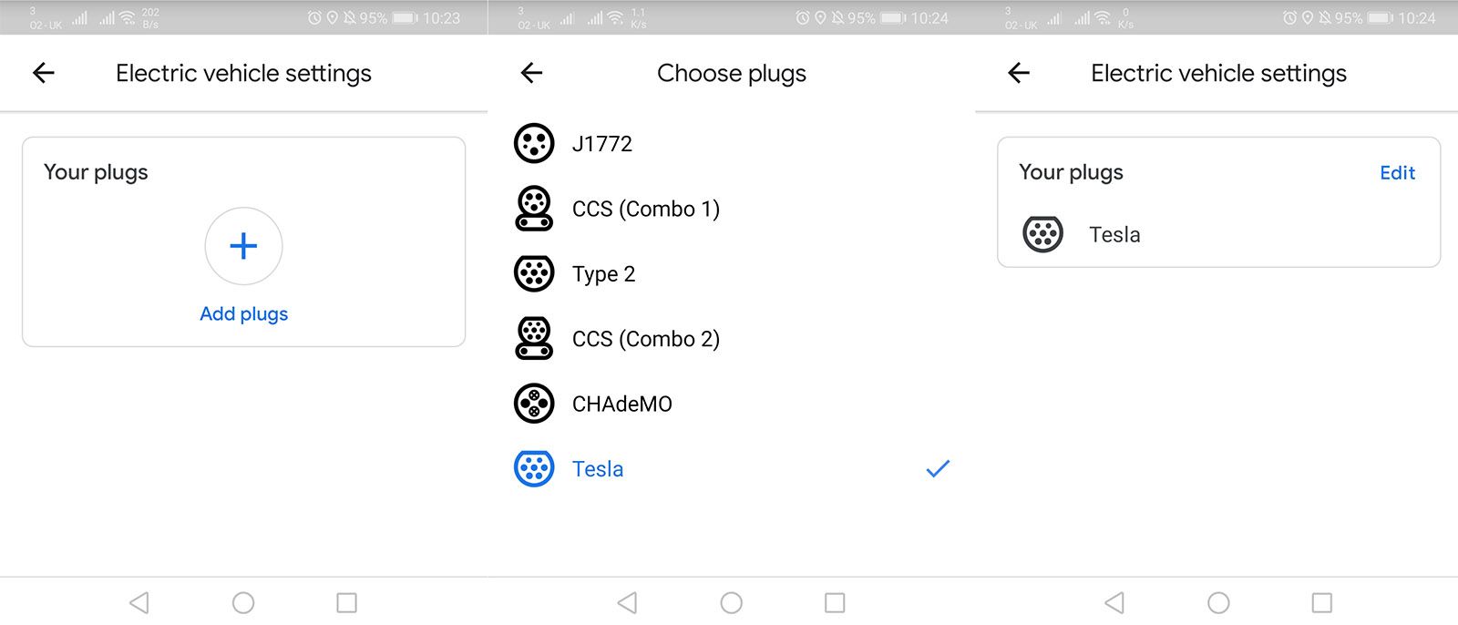
A December 2019 update in Maps allows you to designate which plug type you're using - J1772, CCS (Combo 1), Type 2, CCS (Combo 2), CHAdeMO, Tesla - so you needn't worry about whether a station will have the applicable charger. That makes the information comparable to Zap Map.
The addition of EV charging information is potentially useful for those planning longer journeys and wondering where they will be able to stop and charge, or looking for a charging location near a holiday destination.
So if you're using Google Maps for navigation, you can plot a route and then search for EV charging stations, making it really easy to add a charging stop to a route. If you're a fan of Android Auto and regularly drive using Google Maps, then it's additional useful information.
There's one thing to watch out for however: it doesn't always know if a charger has restricted access or is private. For example, if a charger is in a car parks behind a barriers, or attached to a particular premises, it might be marked but not actually publically accessible.
This article was first published on 23 April 2019 and has been updated to reflect new features within the app.


