Microsoft has released an improvement to its Bing Maps service with 13 million square kilometers of higher-resolution satellite imagery and the addition of better ocean typography.
In a post on the Bing Maps Blog, the company explained it had begun using bathymetry data from Scripps Institution of Oceanography and base satellite imagery from TerraColor to better the overall experience.

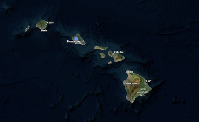
The satellite view nadir shots, meaning straight down, have been updated to provide a 15 meter per pixel view of the entire world. Microsoft says the imagery provided by TerraColor will enhance performance on the Windows 8 Maps app and Bing Maps for an overall smoother flow when in satellite view.
One problem with a satellite view can be the persistence of cloud cover in one specific area, blocking out a clear view in some cases.

Thanks to Microsoft's new update, the satellite layer on Bing Maps has been processed to reduce cloud cover "in areas notorious for persistent cloud cover" - once blacked out. Bathymetric shading from Scripps also improves ocean shading indicating changes in ocean depth, giving the map analyser a better indication of the area.

Lastly, Bing's Global Ortho imagery has been updated with 203, 271 sq km of data for aerial views of 100 per cent of the US and 90 per cent of western Europe.
To compare, competitor Google Maps has both high-res underwater typography and Street View, offering a leg up over Bing for ocean fanatics.
Microsoft says the new viewing experience can be found on the Bing Maps website or the Windows 8 Maps App.
Do you prefer Google Maps or Bing Maps?