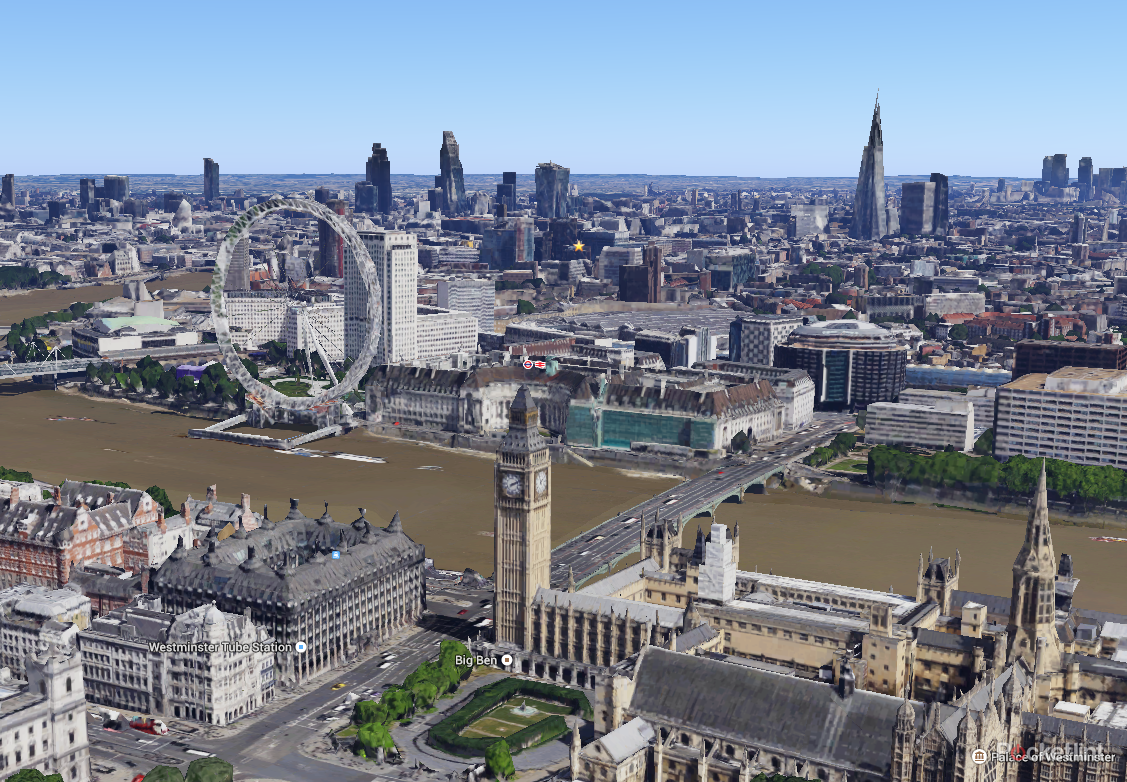
Google has painstakingly rendered much of London in 3D for its Maps service, giving you the option to explore the capital in ways you may never have before.
Using the 43-degree angled satellite imagery, Google has crafted a 3D model of London for both Google Maps and Google Earth. The centre of the city at least looks spectacular and you can fly past or stare longingly at many well-known landmarks as well as streets off the beaten path.
However, it's not complete yet. Many parts of London remain flat in the imagery, such as Camden Town, which seems to be at the border of where the 3D rendering ends. That's no more apparent than with the Camden Road bridge, which just looks like it's chopped in half.

Still, we're impressed with how high resolution the 3D sections become when given time to render and fill properly. It takes a while - after all, it's not got the draw distances of Grand Theft Auto 5 on the Xbox One or PS4 - but is worth the wait.
Strangely enough, the capital is not the first British city to be given the full 3D treatment. Google has previously rendered Reading, Leeds, Birmingham and Stoke on Trent.