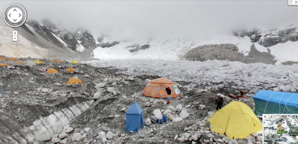
Sometimes there are places you want to go in life, but will never be able to - huge mountains included. Luckily, the folks at Google have stepped in to give you a little bit of the experience, adding some of the world's tallest mountains to its Google Maps Street View.
Members of the Google expedition team travelled to Aconcagua (South America), Kilimanjaro (Africa), Mount Elbrus (Europe) and Everest Base Camp (Asia), some of the most famous mountains in the world. They're also inaccessible to most of us.
To view the mountains - Kilimanjaro is our favourite - you simply type in the location on Google Maps. Google presents a full 360-view of the mountain from several locations. To achieve such stunning shots, Google says, it was done with a simple lightweight tripod and a digital camera fish-eye lens.

This isn't the first time the folks in Mountain View have travelled to odd places on Earth. The Grand Canyon and underwater in the world's oceans have recently been added to Street View. Parts of North Korea, an area traditionally exempt from the world's maps, have even begun to be mapped.
Google Trekkers recounted the experience on the Lat Long Google Blog: "Everyone, including me, is starting to feel the effects of the altitude (mostly nausea and headaches), and we’re barely above 11,000 ft."
Could you climb to such heights?