
Google Earth for Android or iOS now features a new user-interface and Street View imagery, enabling explorers to virtually browse the Earth from street-level straight from their handsets.
The updated app brings a new streamlined interface, where a tap on the Earth logo in the top-left corner serves up informative layers like Panoramio Photos and Wikipedia. Google Earth also features improved directions, allowing users to "visualise step-by-step transit, walking and biking directions in full 3D", according to a post on the Google Lat Long blog.
Check out the Google Play store or App Store to download the latest version of Earth for Android and iOS. Google said the app is now available in more than 100 countries.
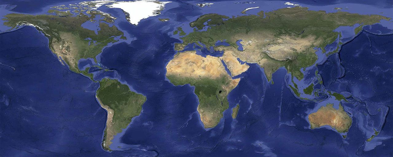
But that's not all: Google has unveiled new satellite imagery for all Google mapping products on Wednesday. This imagery supposedly eliminates clouds, provides a better view of texture and landscape and includes refreshed imagery for regions where high-resolution is not available.
Google used Google Earth Engine technology to "mine hundreds of terabytes of data from the USGS’s and NASA’s Landsat 7 satellite", according to another post on the Google Lat Long blog, resulting in a seamless and consistent image of the planet with a resolution of 15 meters per pixel.
Google said the new Landsat 8 satellite, which launched earlier this year, would capture even more up-to-date imagery in the months and years ahead. Users can access the new satellite imagery by going to Google Maps and turning on satellite view or by launching Google Earth.