Back in July last year Google Maps added public transport directions to its repertoire, meaning Googlers were able to check out what Underground line to jump on and now, in partnership with thetrainline, the travel information has been extended across the whole country.
More than 2,500 stations and 170,000 trips nationwide are available on the Google Maps platform, in addition to 8,000 bus stops and over 250 tube stations.
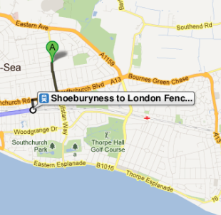
Public transport directions appear alongside the car and walk icons, as a little train or bus icon, and gives you info such as timetables and journey times. You'll get info for national rail, Underground, bus, tram and Docklands Light Railway (DLR) lines, with timetable options and walking directions thrown in as well.
Ed Parsons, Google UK’s geospatial technologist, said: “Google Maps seeks to provide a wide range of relevant local information, and public transport station and schedule information is definitely a part of that. It is great to be able to partner with companies like thetrainline.com and have their schedule information available in Google Maps for the whole of Britain. This means we can reach and help a larger number of people with useful national rail train information.”
You're also given details of the train company that you'd be using and links to buy train tickets through thetrainline.
To access public transport information simply visit maps.google.co.uk, click “Get Directions”; enter your origin and destination locations. Users can also use the service on Google Maps' mobile versions.